
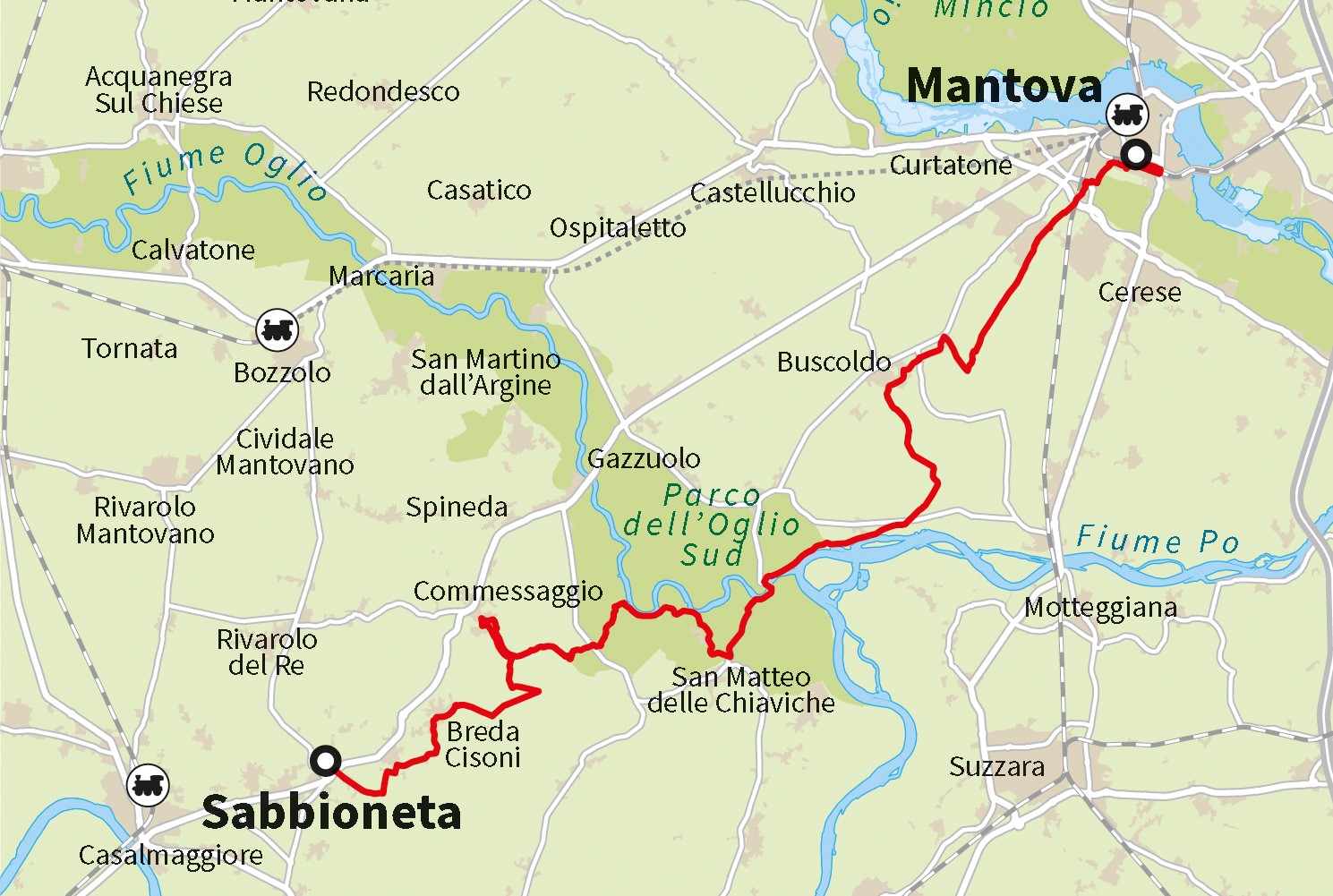
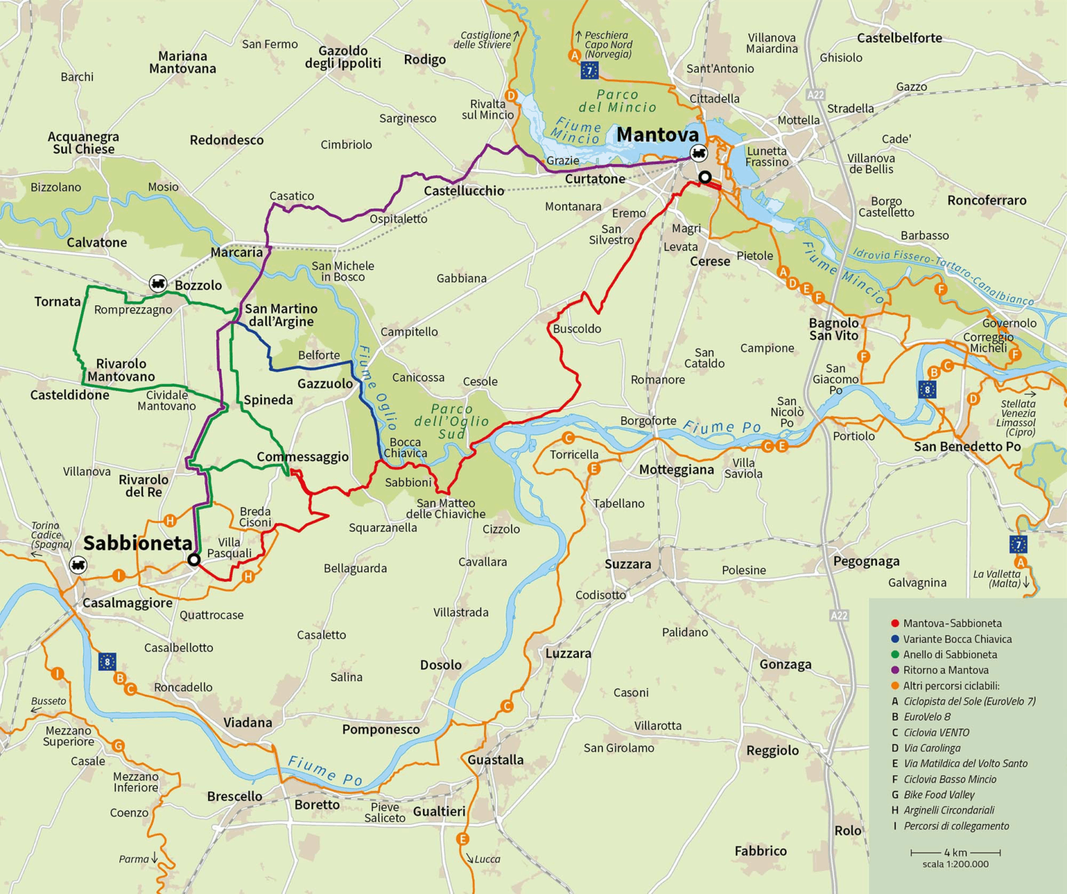
The Mantua-Sabbioneta cycle path it's a mixed cycle route (for bikes and cars) that connects the two cities of the UNESCO site. The route winds for approximately 49 kilometers on low-traffic roads, through the wetlands of the South Oglio Park, allowing you to discover otherwise unexplored environments and better appreciate the landscape and cultural characteristics of the area.
Click on the image to enlarge it
Map created by @Ediciclo Editore – www.ediciclo.it
THE ROUTE
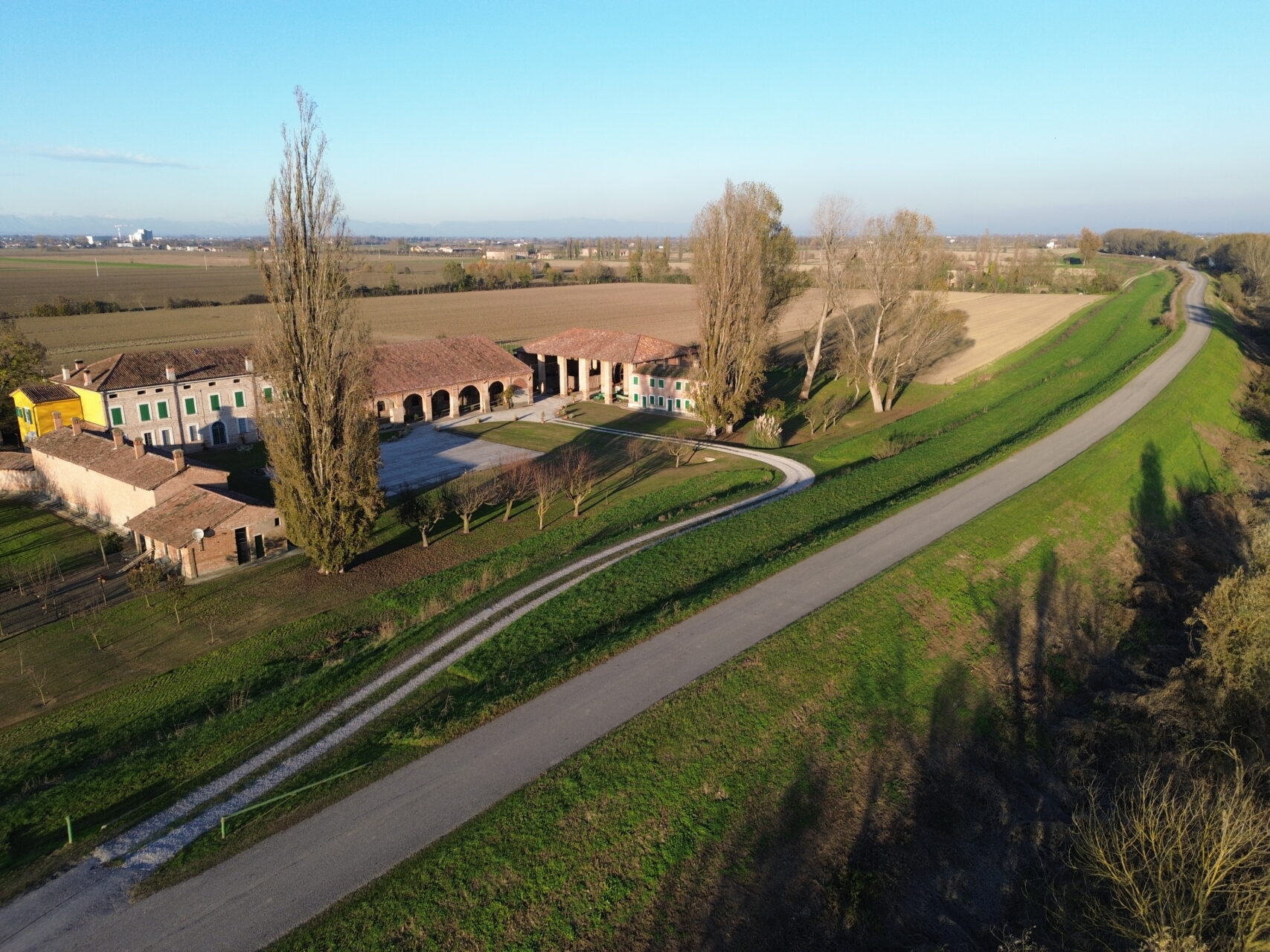
Starting from Te Palace to Mantua the route winds through the fascinating landscapes present between the river floodplains Oglio and Po, where water has shaped the form, history, economy and cultural identity of the territories.
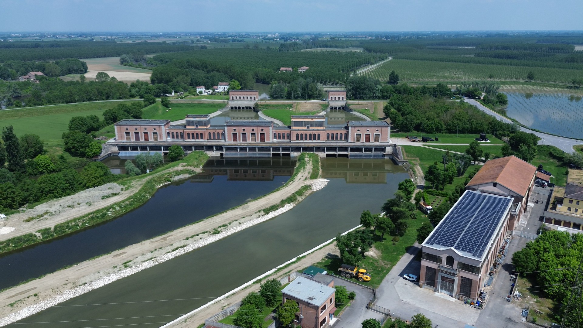
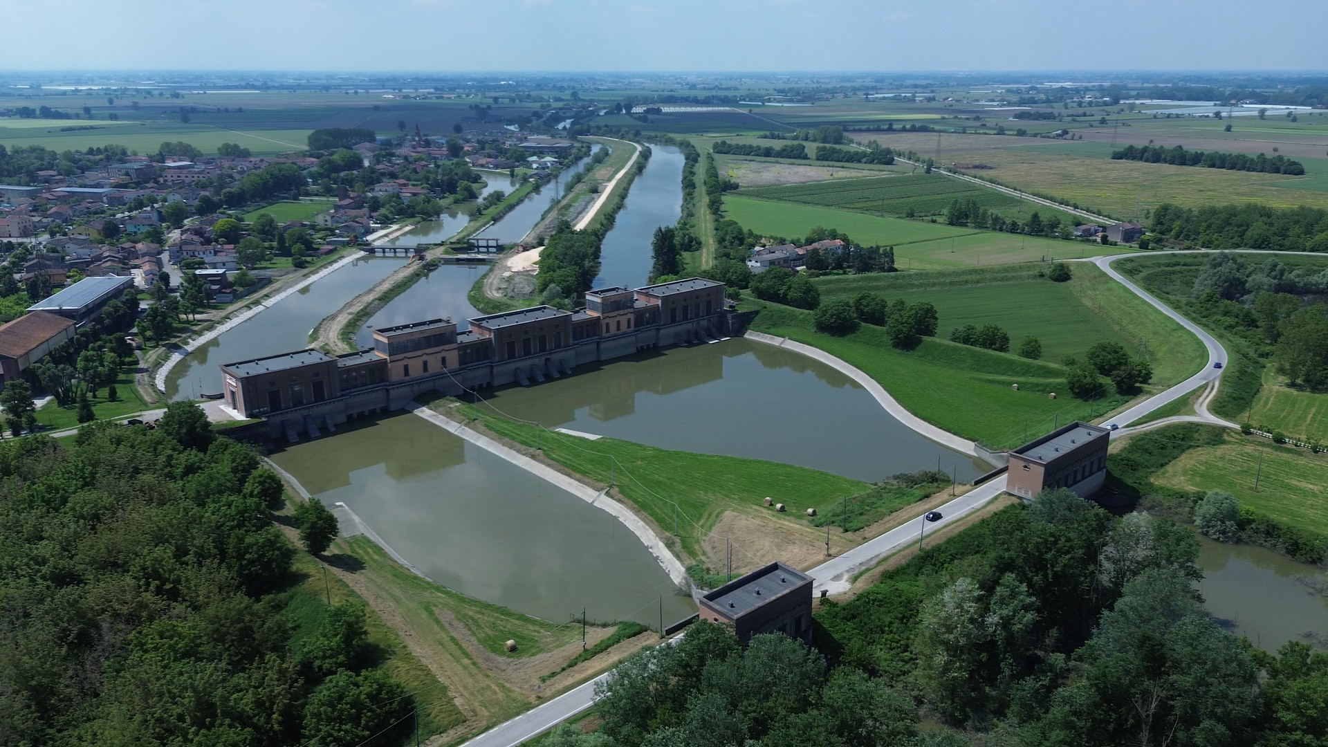
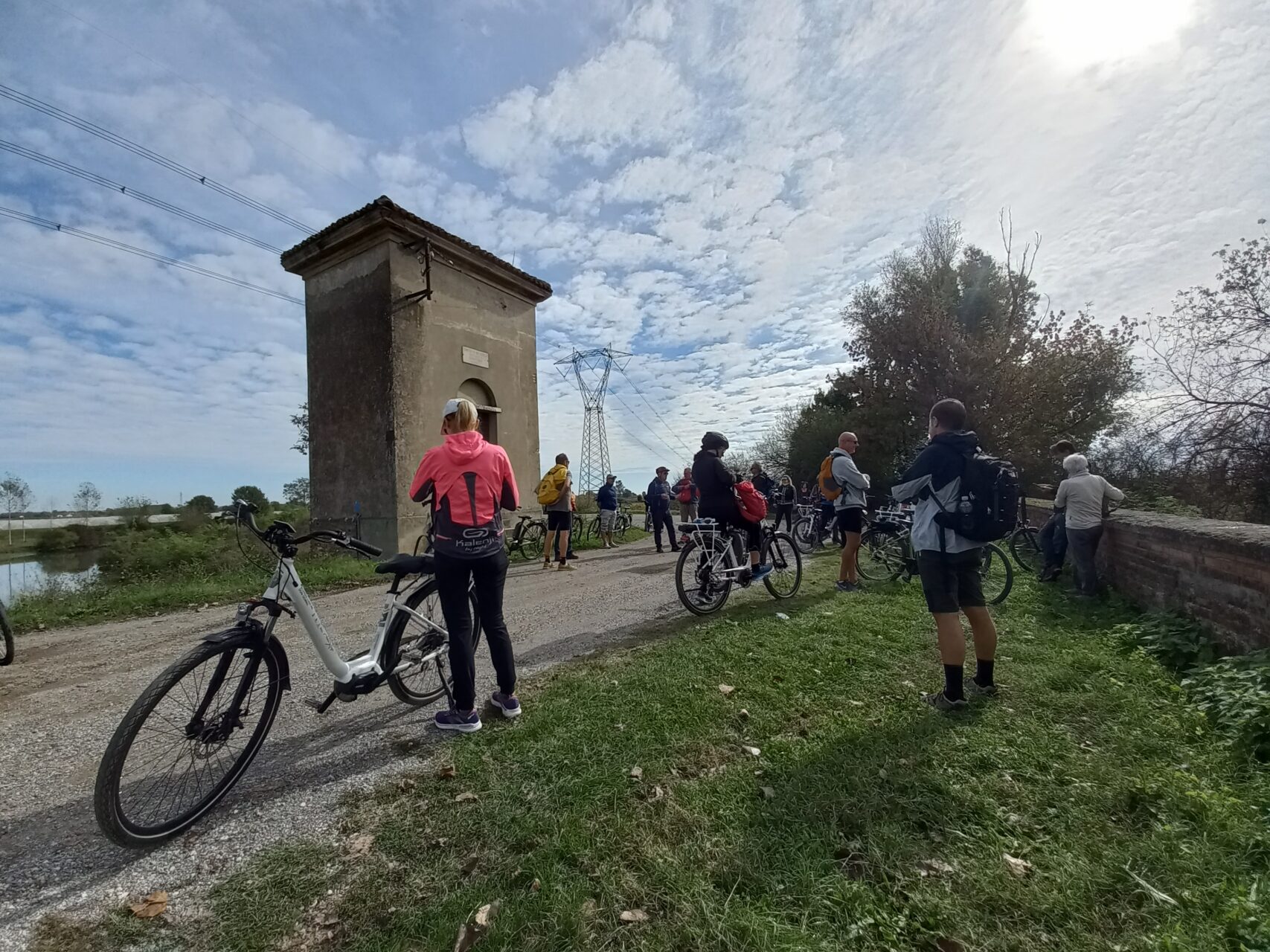
Along the way you will come across various towns, each with its own special features: Buscoldo with the late Baroque parish church; Torre d'Oglio with the pontoon bridge and the Correggioli oratory (chapel of the Madonna dei Correggioli); San Matteo delle Chiaviche, where the impressive water pumping plant and the documentation centre of the area are worth a stop and a visit.Ecomuseum "Lands of Water between the Oglio and Po Rivers"; Message with the Torrazzo erected by Vespasiano Gonzaga.
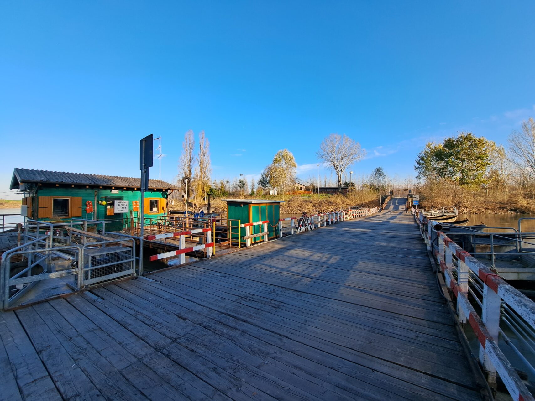
From this small village, continuing along dirt roads, you intercept the defensive system of the embankments, created as a hydraulic work in the 12th century. Once you reach Villa Pasquali The imposing church of Sant'Antonio Abate, designed by architect Antonio Galli Bibiena, is worth a visit. Pedal after pedal, you arrive in the historic center of Sandpit, crossing the Imperial Gate.
TECHNICAL DATA
Route length: 49.0 km
Travel time: 4-5 hours
Difficulty: Easy
Characteristics: Flat
Surface: mostly asphalt
SUPPORTS FOR TRAVELING THE CYCLE PATH
GPS route
The Mantua-Sabbioneta cycle path route It can be consulted free of charge on Komoot, the outdoor planning and organization platform that lets you create itineraries tailored to your activities. On the dedicated page, you can explore the route and view Highlights (the most popular places shared by the Komoot community).
PDF Guide
You can also download the free version Guide to the Mantua-Sabbioneta Cycle Path, in Italian and English, at the following links:
Mantua-Sabbioneta Cycle Route Guide (IT)
Mantua Sabbioneta Cycle Route EN
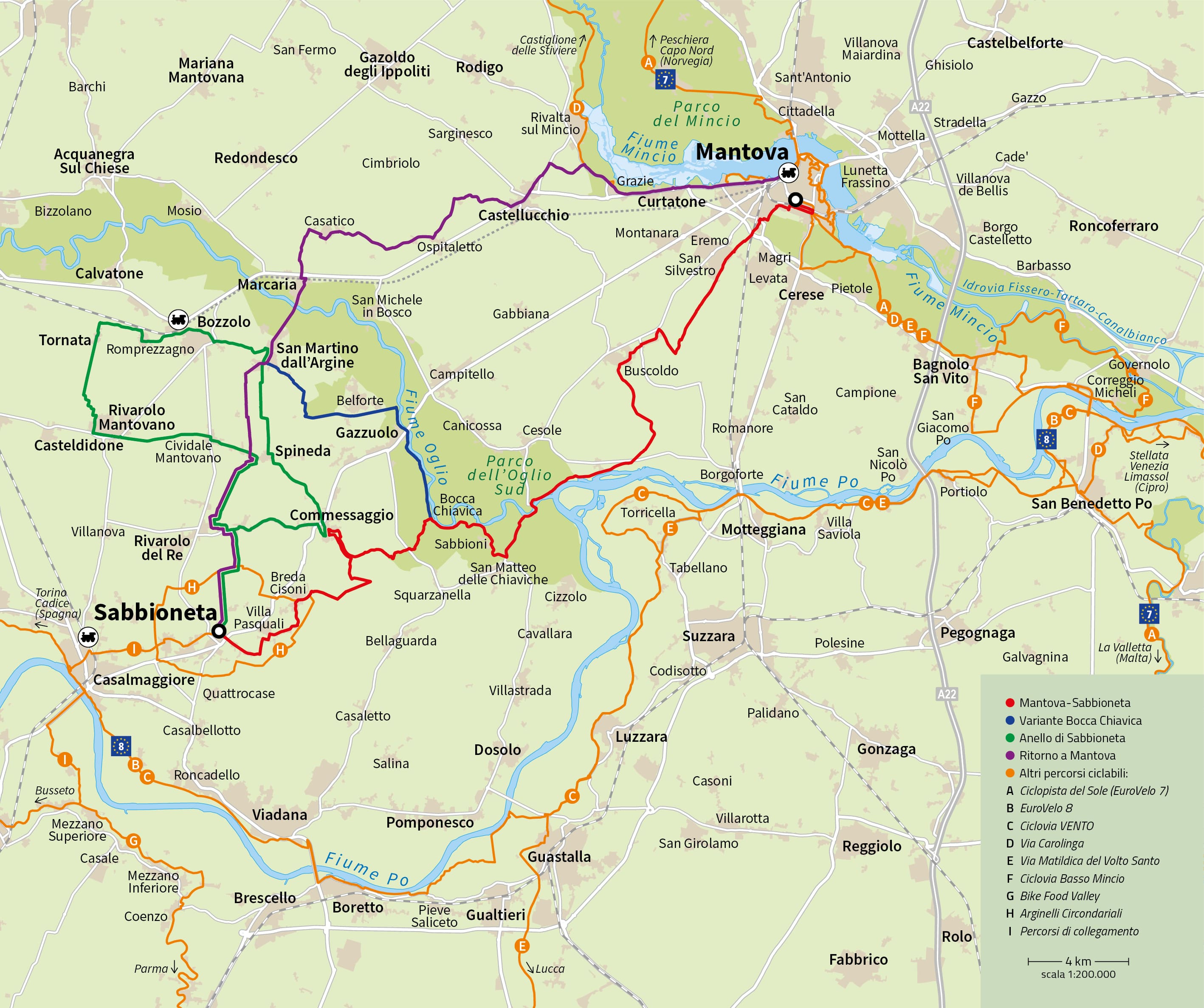
The territory is innervated by a dense network of cycle/pedestrian paths with wide distances which you can view on the map below.
Click on the image to enlarge it
Map created by @Ediciclo Editore – www.ediciclo.it
The project is curated by’Mantua Sabbioneta UNESCO World Heritage Office (Municipality of Mantua and Municipality of Sabbioneta) and of the Province of Mantua, with the collaboration of FIAB.