
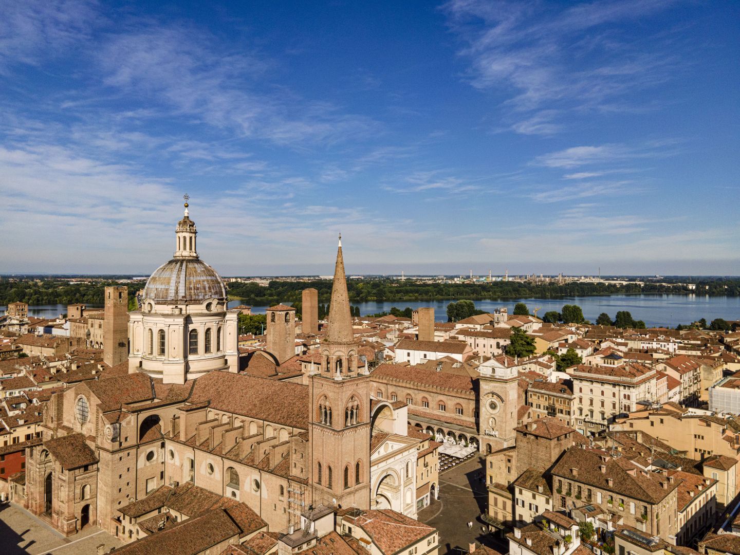
Mantua represents, in relation to Sandpit, the implementation of Renaissance urban planning principles starting from a city already built.
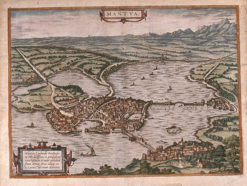
Mantua, F. Hogenberg, 1575 (Teresiana Municipal Library of Mantua, Prints)
The city had in fact developed in the Etruscan period starting from the civitas vetus (the current Piazza Sordello) marked by the fossatum bovum (today's Via Accademia and Via Cavour), which corresponded to the first circle of walls. Later, with the Bonacolsi family, the Erbe and Broletto squares and the related palaces of power were built; second circle The walls end with the Rio, the watercourse created by the hydraulic engineer Alberto Pitentino. With Francesco I Gonzaga the city expanded further reaching the third circle and beyond, up to the island of Te.
There sequence of the three circles and the visible overlapping styles It allows us to grasp not only the progressive expansion of the city but also its transformation, which was functional to the new idea of the city. The Doge's Palace was expanded, the oldest quarter was demolished and transformed into a square, and the roadways were redesigned to create a sumptuous setting suited to the representation of the power of the new rulers.