
Time: 2012–2017
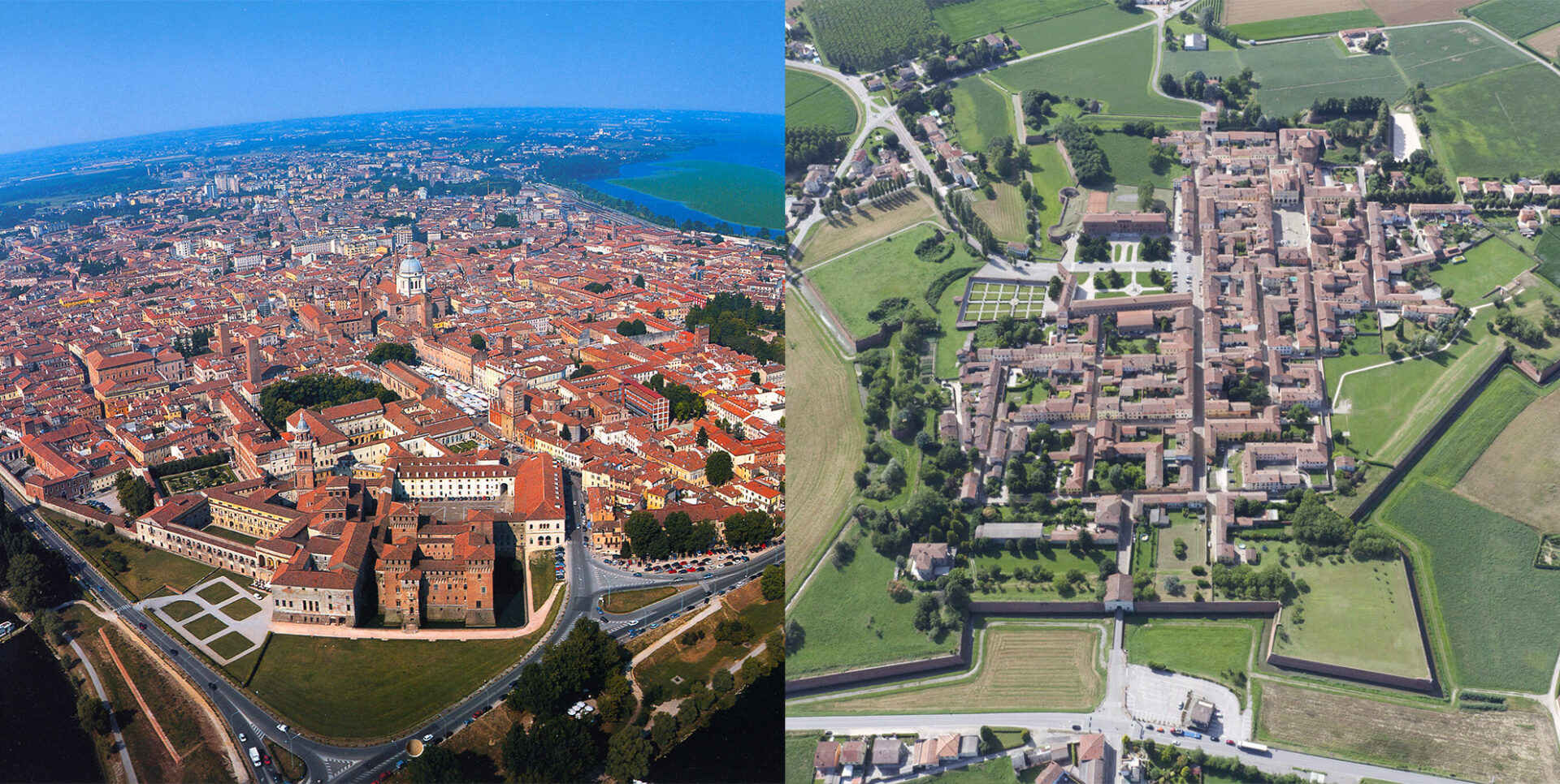
Objective: Updating territorial data. Using advanced instruments and technologies, surveys were conducted to create a detailed technical map and related photographic database of the two cities. This allowed for the updating of the Geographic Information System (GIS) and the development of geolocalized services for residents and tourists.
Resources: MIC (Law 77/2006) and the Municipalities of Mantua and Sabbioneta