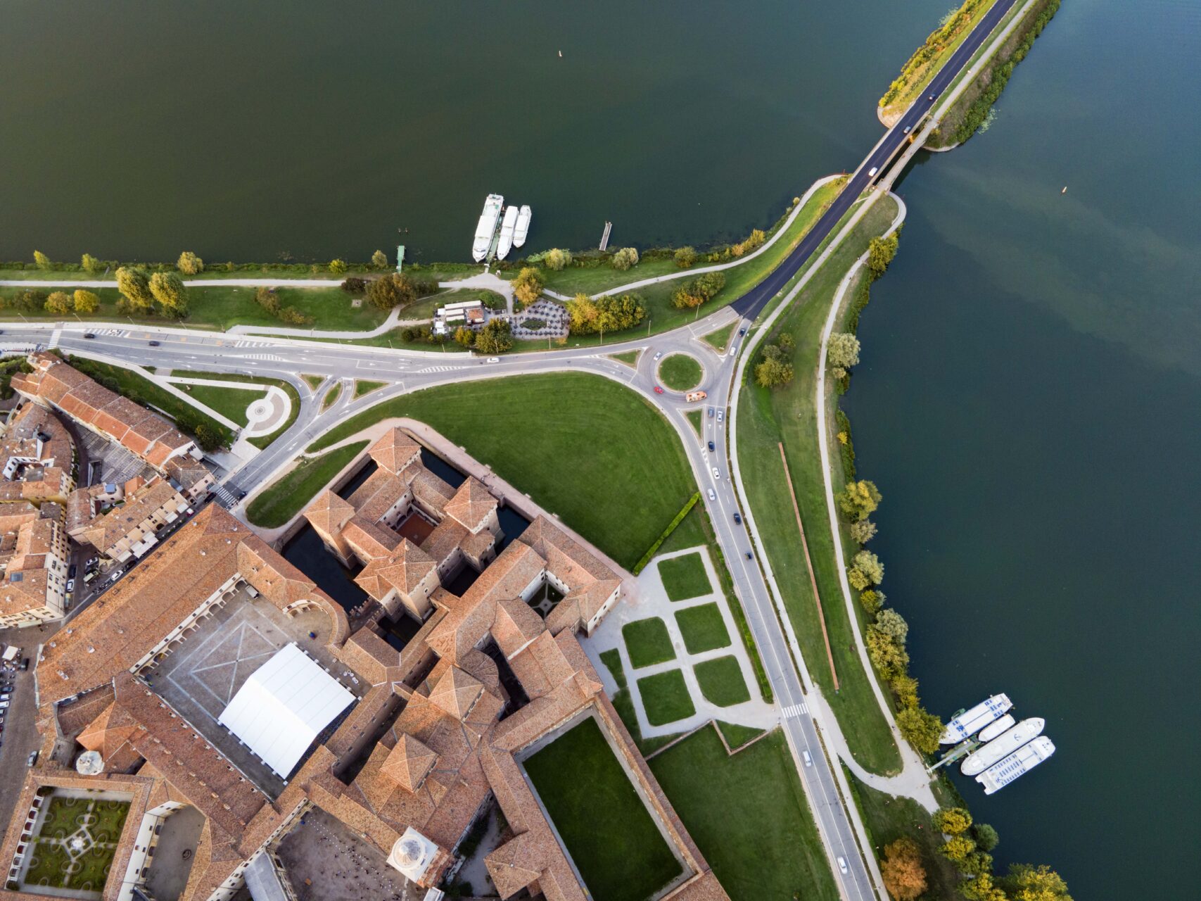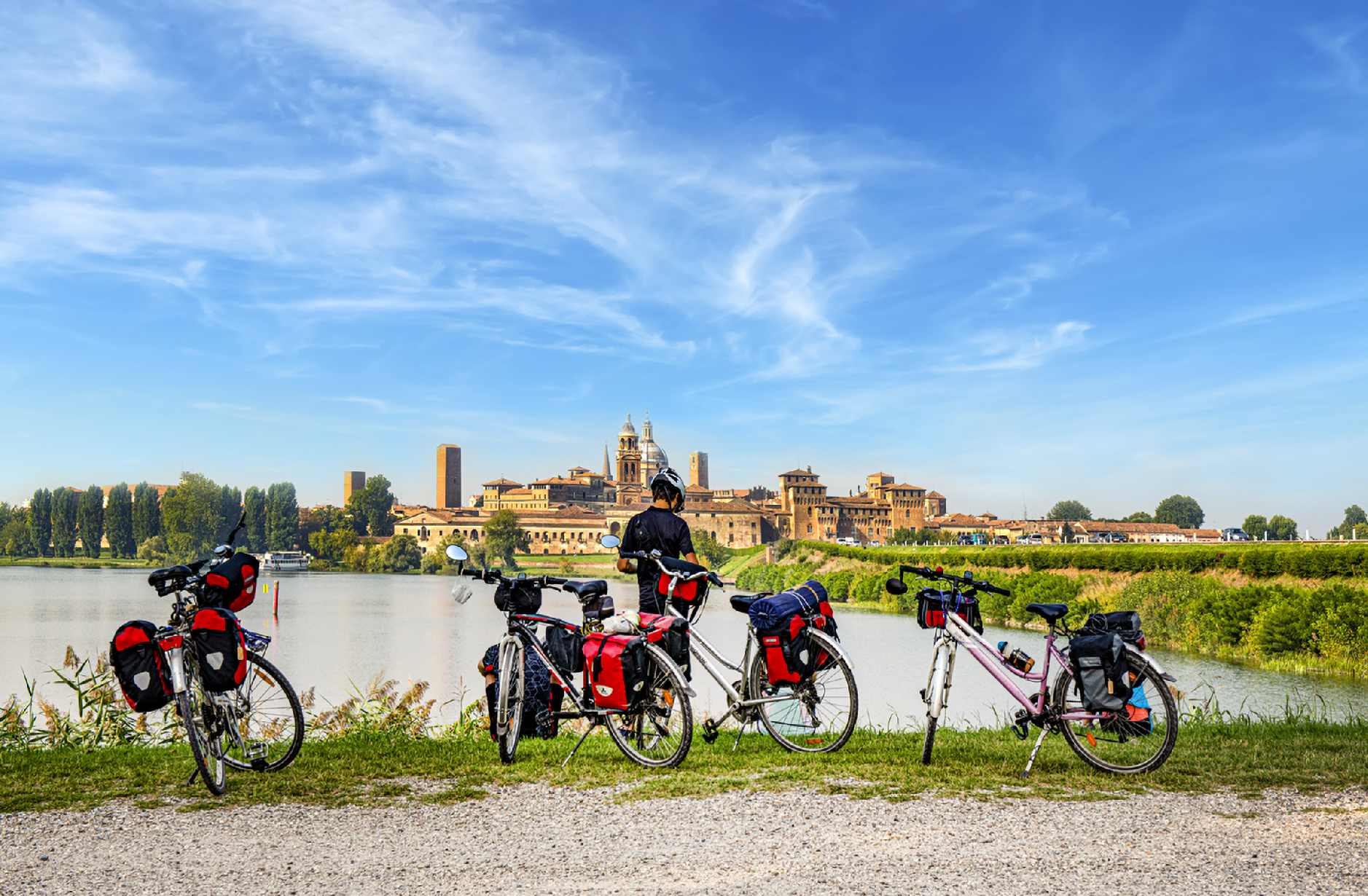
Non c’è nulla di meglio di una passeggiata lungo il lago di Mezzo per cogliere l’identità di Mantova e per comprendere la sua conformazione e il suo stretto legame con l’acqua. Giungendo ai “Giardini delle vittime delle foibe” ci si imbatte in una scultura che riproduce la mappa di Mantova nel Seicento. Quest’area pianeggiante, che comprende anche Sordello Square, emergeva un tempo dal fiume ed era circondata da estese paludi. Per queste caratteristiche strategicamente adatte alla difesa e alla sopravvivenza, questa zona viene scelta dagli Etruschi prima, e dai Romani poi, come insediamento permanente. È così che nasce Mantova, città d’acqua, il cui sviluppo non può prescindere dal rapporto con il Mincio che la circonda e l’attraversa.
By the Middle Ages, Mantua was already too large to fit into this strip of land. Therefore, in 1190, the engineer Alberto Pitentino, with an incredible hydraulic engineering project, reclaimed the area, channeling the water into four lakes that transformed the city into an island. Pitentino also connected the Upper and Lower Lakes, creating the Rio, a canal that would serve as a vital resource for the population until the 1950s.
Mantua's appearance remained unchanged until the 18th century, when the reclamation of the port of Sant'Agnese, now Piazza Virgiliana, and of Lake Paiolo, near Palazzo Te, gave it its current appearance.
Find out more
Mill Bridge
San Giorgio Bridge
Sparafucile
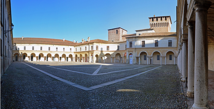
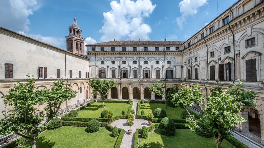
Ducal Palace
Periurban Park
Skyline
Mantua, a city of transformation